Drone technology is transforming mine rehabilitation as new uses rapidly move from concept to reality.
Activities such as surveying via unmanned aerial vehicles (UAVs) are familiar territory, providing important safety benefits alongside significant time and cost efficiencies.
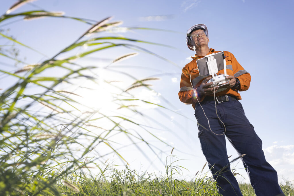
Thiess Rehabilitation’s advanced surveying capability has delivered savings and operational advantages for many years, with all current rehabilitation at Thiess monitored by drones, delivering highly accurate, detailed survey data.
Instead of field surveys, site-based surveyors are commonly carrying out weekly drone flights to gain comprehensive data and drive faster, better results.
What’s now turning heads is a range of emerging uses for drone technology.
Thiess Rehabilitation Group Manager, James Anderson, said drone technology has matured to a point where it offers value across the whole rehabilitation lifecycle, from surveying rehabilitation surfaces during design and construction, to seeding and fertilising, to ongoing progress tracking of vegetation and fauna, to erosion monitoring.
“Thiess has been using drones for rehabilitation surveying since 2015. In the last year alone, we’ve flown more than 100 hours across our rehabilitation projects, saving more than 200 days in traditional surveying time while delivering a more accurate and useable dataset,” James said.
“With that now business-as-usual, our Thiess Rehabilitation team is looking at opportunities such as species identification, weed spraying and seeding by drone – and not just for the time and cost savings.
“Drones reach where people and plant cannot, so we’re gaining new levels of access and efficiency as well as safety benefits. From there, the digital footprint of drones, via their flight path records, gives unprecedented visibility and accuracy of where seed has been dropped, which makes it easier to monitor and report on.”

Thiess Rehabilitation has recently completed trials using multispectral sensors to track vegetation health and water management in rehabilitated areas.
The team is also trialling UAV-mounted LiDAR sensors that can penetrate vegetation to see how well the sensors detect erosion that would otherwise not be visible.
Another innovation is the development of systems that can use high-resolution images to automatically detect objects of interest, such as weeds.
“In the near future, we’ll be able to fly a drone to monitor different parameters, like vegetation health, species diversity and erosion, to identify issues early and target resolutions,” James said.
“From safety for people, to time and cost savings, to real-time data benefits, this is a level of efficiency, tracking and transparency we’ve never hit before.”
Combined with a strong in-house survey capability, the Thiess Rehabilitation team continually challenges what’s possible as new drone technologies, and related hardware and software solutions, emerge.
For clients, the team’s commitment to tailoring the right mix of technologies to unique site and business priorities, is critical, ensuring real value.
For more information, please connect with our Thiess Rehabilitation team.


